


For the first time in its 183 years as a country, Ecuador’s borders are completely defined. Since 1830, Ecuador hadn’t set its marine borders, due to a lack of political will.
Current President Rafael Correa has had the will.
Marco Albuja, vice-minister of Foreign Affairs, says Ecuadorian diplomacy is experiencing a new era.
“In May we settled the boundary with Costa Rica, and we’ll have for the first time a definite map of Ecuador. We’ve previously settled disputed ocean terrain with Perú (May 2011), Colombia (June 2012) and now Costa Rica. What’s missing now is just a GPS measurement of the points of reference.”
Ecuador is now in adherence to the UN’s Law of the Sea or “Convemar”: what has been called a constitution for the Earth’s oceans.
With the deal, Ecuador loses absolute sovereignty over its 200 nautical miles, but gains control over natural resources in the wider area. “Which is what’s really important, because how could we say we own it if we can’t use its resources?” says Eduardo Villacrés, an academic.
Albuja says the influence of the Union of South American Nations (Unasur) has been a boon to Latin American diplomacy. “We’ve become a reference for negotiation and sovereignty questions.”


Trump asegura que EE.UU. “ha ganado” en Irán tras ofensiva junto a Israel
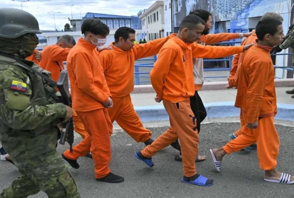
Presos deberán trabajar para cubrir sus necesidades básicas

Dos proyectos estudiantiles impulsan innovación ambiental y emprendimiento
China impulsa gran parte de las importaciones del país
Mundial 2026: Así reemplazaría la FIFA a Irán
Buscan financiar cirugías cardíacas para niños en situación de vulnerabilidad

¿Barcelona es el papá de los brasileños?

